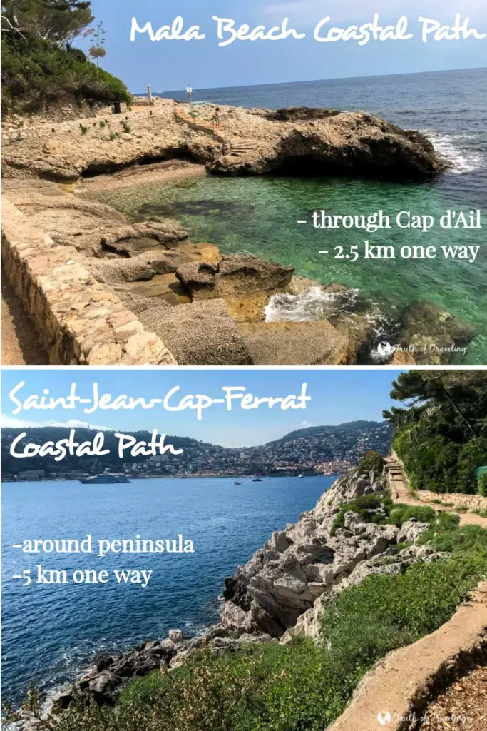
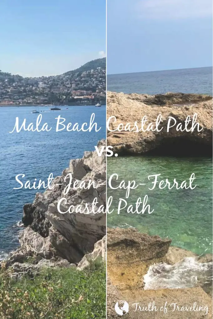
In our Day Trip to Eze and Mala Beach Post we talked about walking the Mala Beach Coastal Path. It is a coastal pathway that extends from Mala Beach through Cap d’Ail until Plage Marquet just before the border to Monaco. In our Day Trip to Villefranche Post we said the highlight of the day was walking the Saint-Jean-Cap-Ferrat Coastal Path. It’s a coastal pathway that goes along the coastline of the Saint-Jean-Cap-Ferrat peninsula. In this post we will compare the Mala Beach Coastal Path vs. Saint-Jean-Cap-Ferrat Coastal Path in terms of distance, time, amenities and most importantly, views along the way.

Why Did We Do 2 Coastal Paths?
We chose to do both coastal paths because we like doing walks/hikes like these because they get us outside, let us see different areas and as an added bonus they also happen to be free.
In Greece we did a similar hike across Santorini from Fira to Oia and honestly felt like it was the best thing we did in Greece!
So if this sounds like your travel style or you like cool views and amazing coastlines then read why you need to do one (or both) of these!
Were Both Coastal Paths The Same?
No!
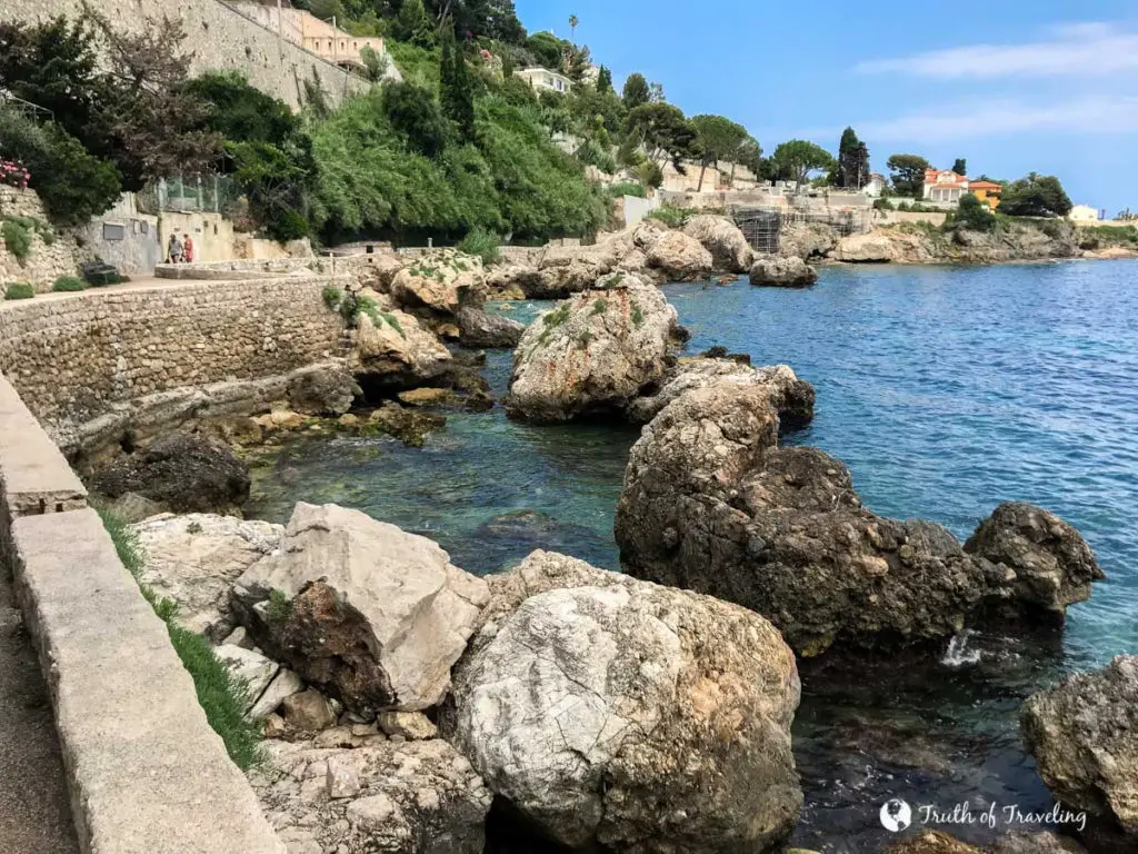
The Mala Beach Coastal Path goes through Cap d’Ail, the region right before the border to Monaco.
The Saint-Jean-Cap-Ferrat Coastal Path goes around the entire peninsula of Saint-Jean-Cap-Ferrat which sits just a few kilometers east of Nice.
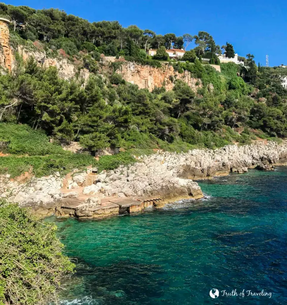
Now, there are parts of both paths that did look similar but there were also parts of both that looked very different. Overall, if you have the time we would 100% recommend doing both!
Mala Beach vs. Saint-Jean-Cap-Ferrat?
We will look at the distance both are from Nice, distance from start to finish, quality of the path (well paved or loose gravel), time it took to complete, amenities along the way (restrooms, etc.), and of course the views.
Distance from Nice
Mala Beach Coastal Path
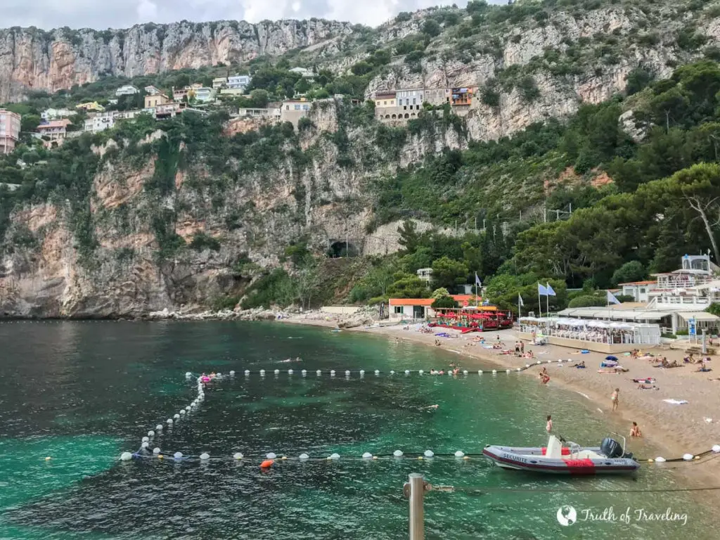
From Nice it is about a 25 minute drive or 45 minute bus ride. This will take you to Mala Beach where you can begin the coastal path walking towards Monaco.
Saint-Jean-Cap-Ferrat
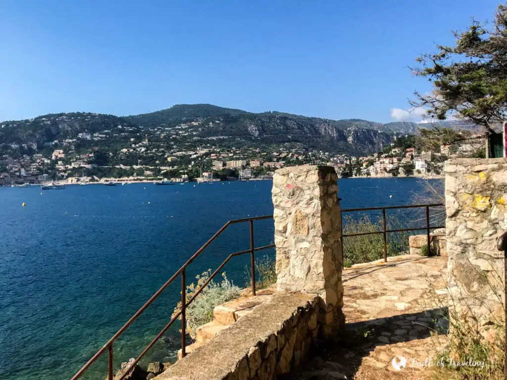
From Nice it is about a 20 minute drive or 30 minute bus ride to Plage de Passable where you can start the path walking east. This coastal path is significantly closer to Nice. It is actually walkable if you are in Villefranche-sur-Mer which is about halfway between the two.
Distance (along the way)
Mala Beach Coastal Path
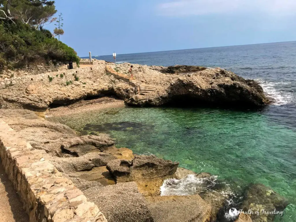
Starting at Mala Beach to Plage Marquet (just before the Monaco border) it is about 2.5 kilometers or 5 kilometers roundtrip. It is also very doable to do one way and take the bus back to wherever you are staying.
Saint-Jean-Cap-Ferrat
Starting at Plage de Passable to the end of the coastal path is roughly 5 kilometers to complete the U-shaped path. To continue on to Paloma Beach (like we did) it was an additional 0.8 kilometers making it a total of 5.8 kilometers.
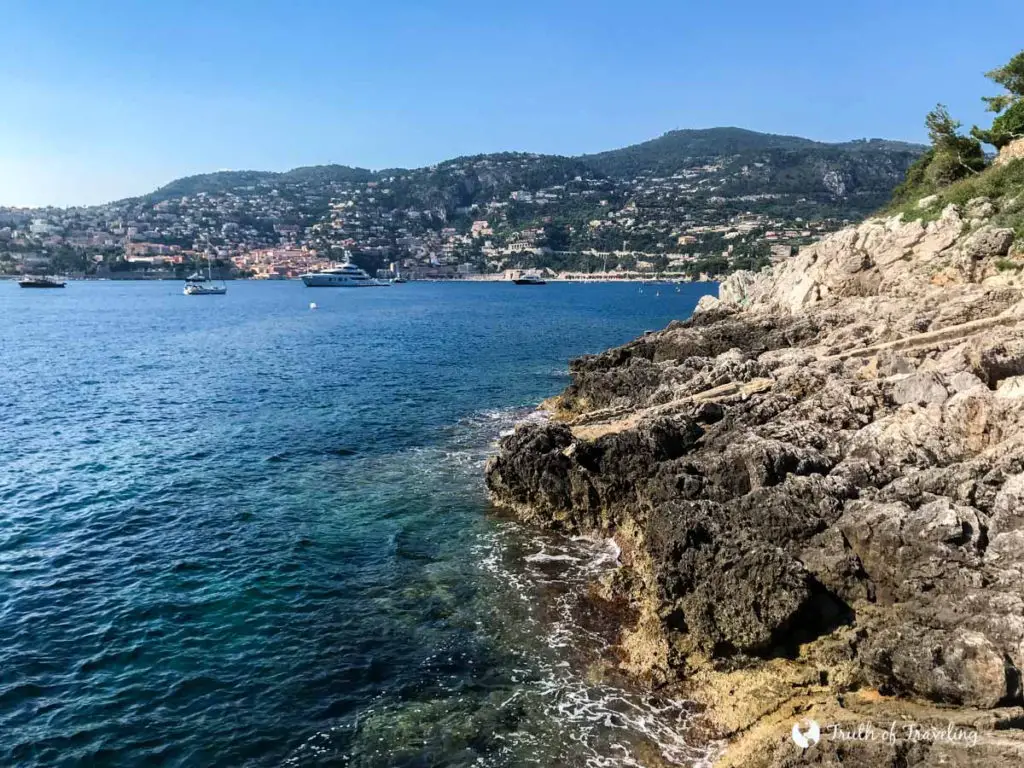
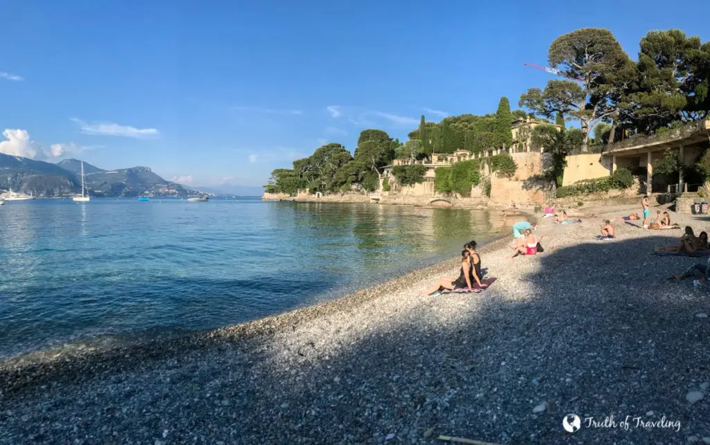
- There is a pathway around the small peninsula on the east part of the bigger peninsula of Saint-Jean-Cap-Ferrat. You can continue on walking and end at Paloma Beach. That would add an additional 2.5 kilometers making the entire distance 7.5 kilometers. It depends on how much you want to do and your end goal for this path. If you do not want to do the additional 2.5 kilometers you can easily take a shortcut across and go straight to Paloma beach. Thats what we chose to do!
Quality of the path
Mala Beach Coastal Path
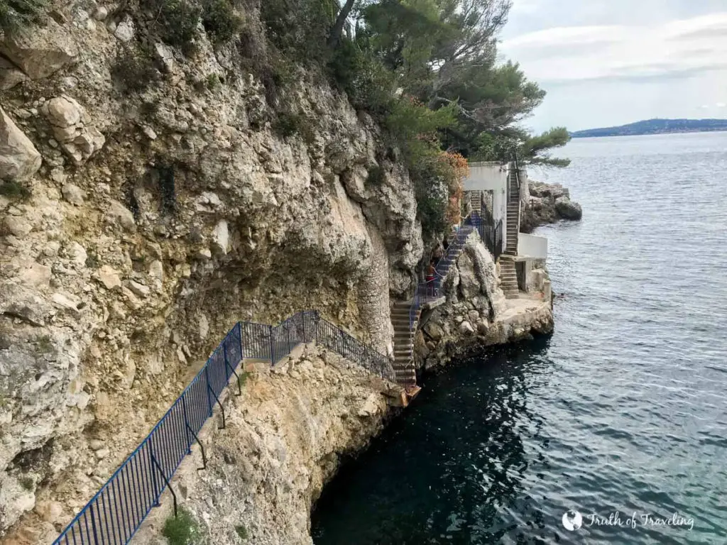
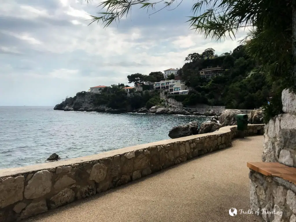
The beginning of the Mala Beach Coastal Path starts out going up and down hill and in some parts there are stairs. However, it evens out more as you keep going. It was well paved with plenty of room to pass other walkers if necessary. There was not, however, a lot of shade throughout the path so definitely bring sunscreen!
Saint-Jean-Cap-Ferrat
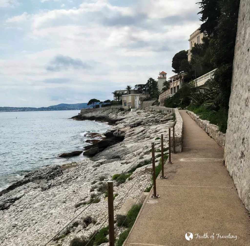
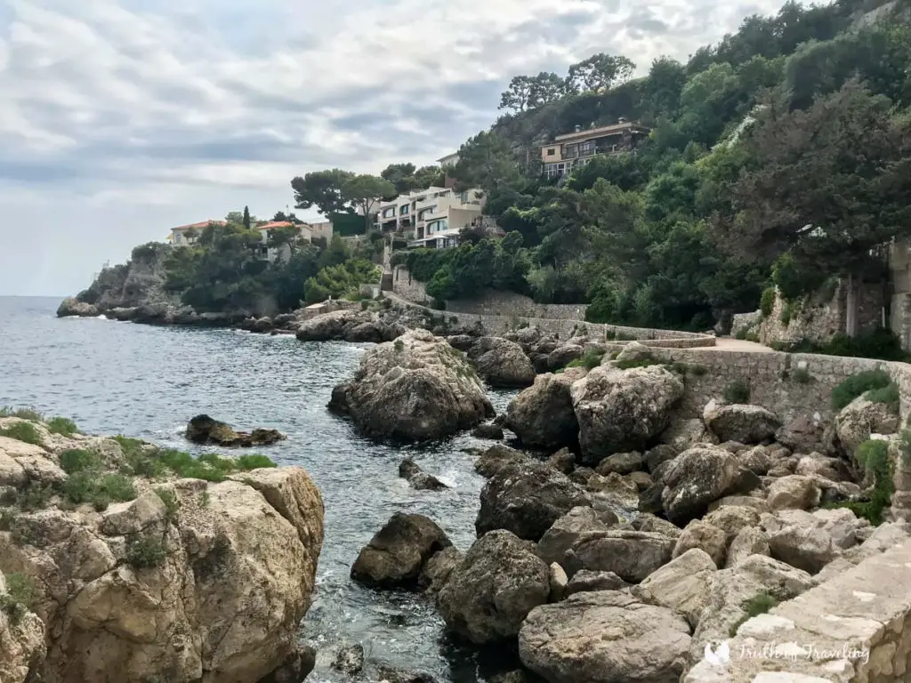
The beginning of the Saint-Jean-Cap-Ferrat path starts off looking very similar to the Mala Beach Coastal Path with its thinner walkway, lots of greenery and cliffs jutting into blue waters. Towards the end the path widens significantly, almost like a sidewalk, and the terrain becomes significantly more deserted. There are houses way up high but other than that the end of the path is just you and the ocean!
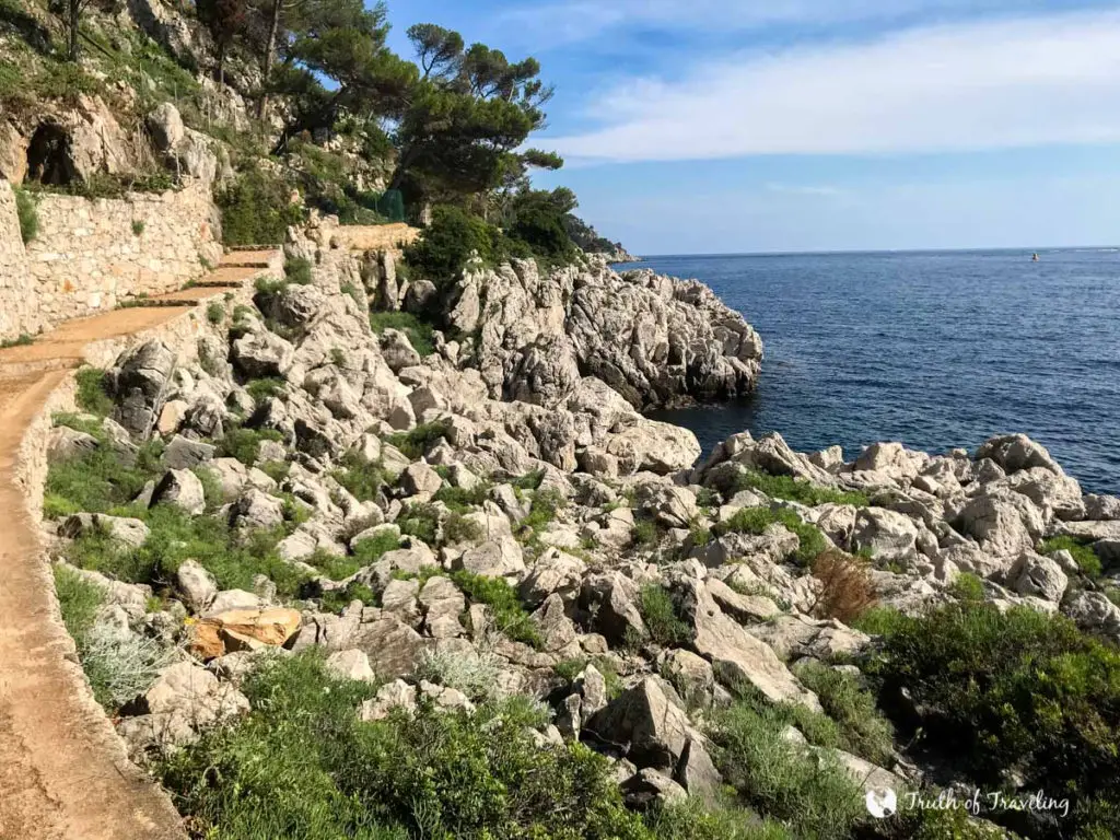
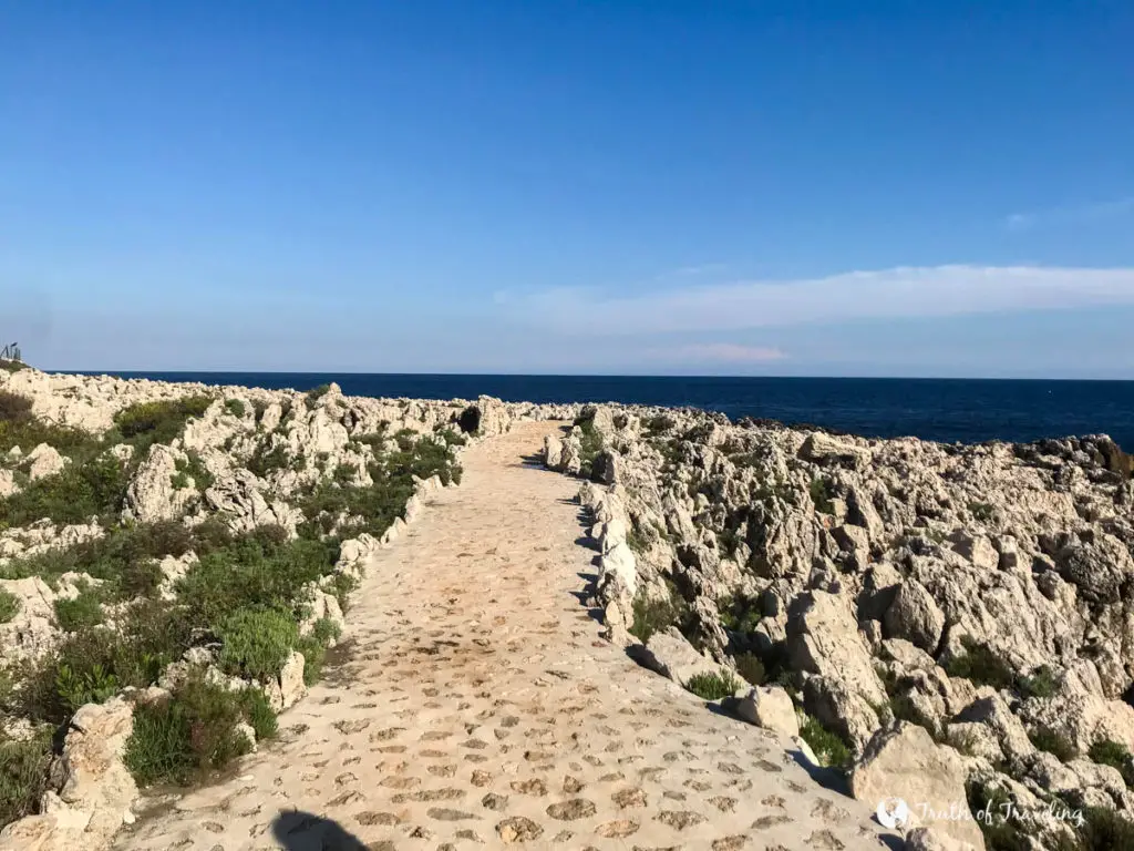
Travel Truth: We wore sneakers for both paths and were thankful on both occasions. Although the paths are both relatively well paved, it was nice after walking for a good distance to just have more support. It also was especially helpful when the path was uneven or required stairs, even just for a short time.
Time they took
**We stopped to take a lot of pictures along the way. You could definitely do both of these faster without as many stops!**
Mala Beach Coastal Path
It typically takes about 45 minutes to walk one way (2.5 km) and roughly 1 1/2 hours to walk roundtrip (5 km), depending on how fast you walk and how many times you stop.
- This path is also easy to do part of if you are not looking for quite as long of a walk. You can easily walk halfway (whichever way) and then walk inland to catch a bus or train.
Saint-Jean-Cap-Ferrat
The Saint-Jean-Cap-Ferrat Coastal Pathway is about 5 km to complete the U-shape coastline of the peninsula but then we continued on to Paloma Beach making it more like 6 km. It just depends on exactly where you start and where you end. It took us about 2 hours starting at Plage de Passable and ending at Paloma Beach.
- There are bus stops at the beginning of the peninsula and then in Saint-Jean-Cap-Ferrat Village (on the east side) but none towards the southern tip of the peninsula. Keep that in mind if you are worried about being able to complete the whole thing.
Amenities along the way
Mala Beach Coastal Path
There are public restrooms (and two restaurants) at Mala Beach if you are starting there. However, along the way we did not pass any other amenities. You can walk inland at a couple stops throughout the path if you need to but don’t expect too much on the path itself!
Saint-Jean-Cap-Ferrat
If you’re going through Villefranche Village before going on to the peninsula you’ll find restaurants and shops there. Unlike the Mala Beach path, while walking you will pass many signs telling you how far certain landmarks are from where you are. We found a very helpful sign outlining the whole path at the start which made us certain we were going the right way! In terms of amenities though you won’t find much. The end of the Saint-Jean-Cap-Ferrat path especially is very remote and you won’t find much until the path ends and you walk closer in to Saint-Jean-Cap-Ferrat Village.
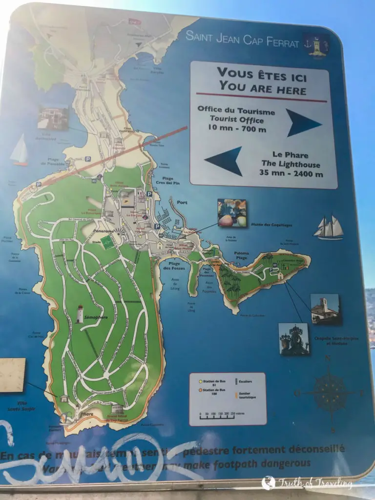
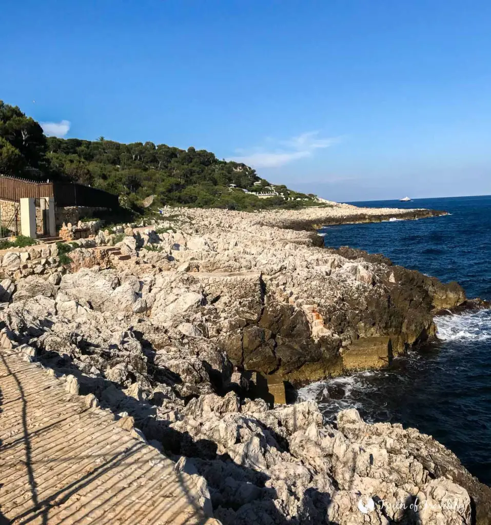
Travel Truth: Bring plenty of water for both walks! There is not a lot of shade on either of the paths and you’ll be happier to carry it around and not drink it all than wish you had more! We would also recommend bringing a couple snacks just in case you get hungry and aren’t close to anything. We always carry a few granola bars and snacks like that whenever we travel.
Views
Mala Beach Coastal Path
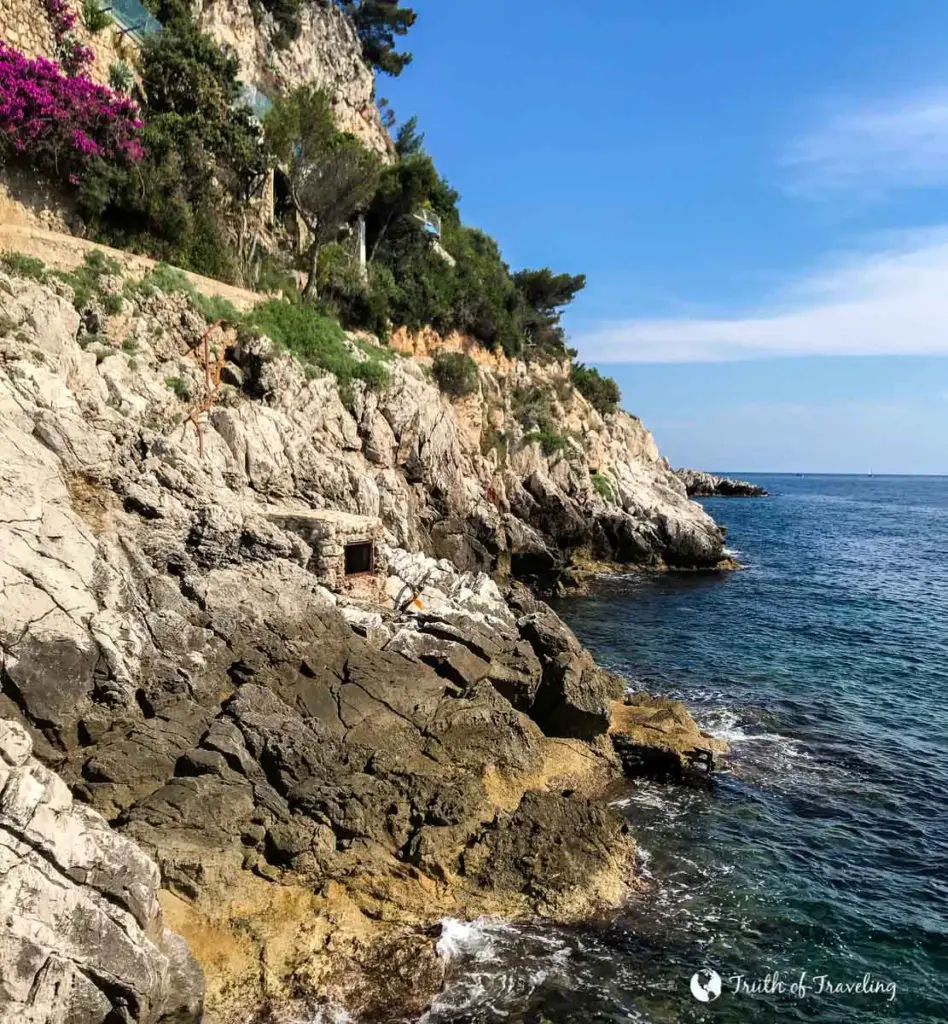
From the Mala Beach Coastal Path you see the many cliffs jutting out into the water in Cap d’Ail. Towards the end of the path you can see views of nearby Monaco including some of the impressive yachts and high-rise buildings.
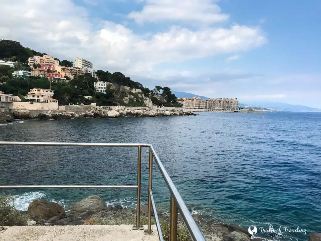
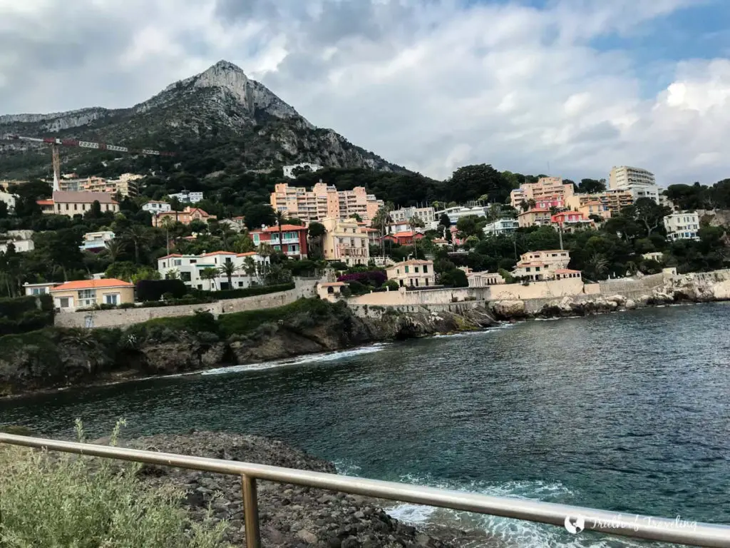
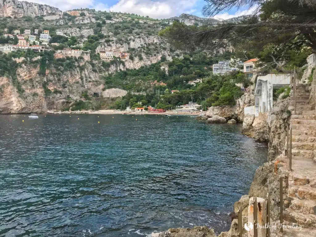
At the beginning of the Mala Beach Coastal Path turn around and you can get amazing views looking back at Mala Beach and the limestone cliffs that surround the one side of the beach.
Saint-Jean-Cap-Ferrat
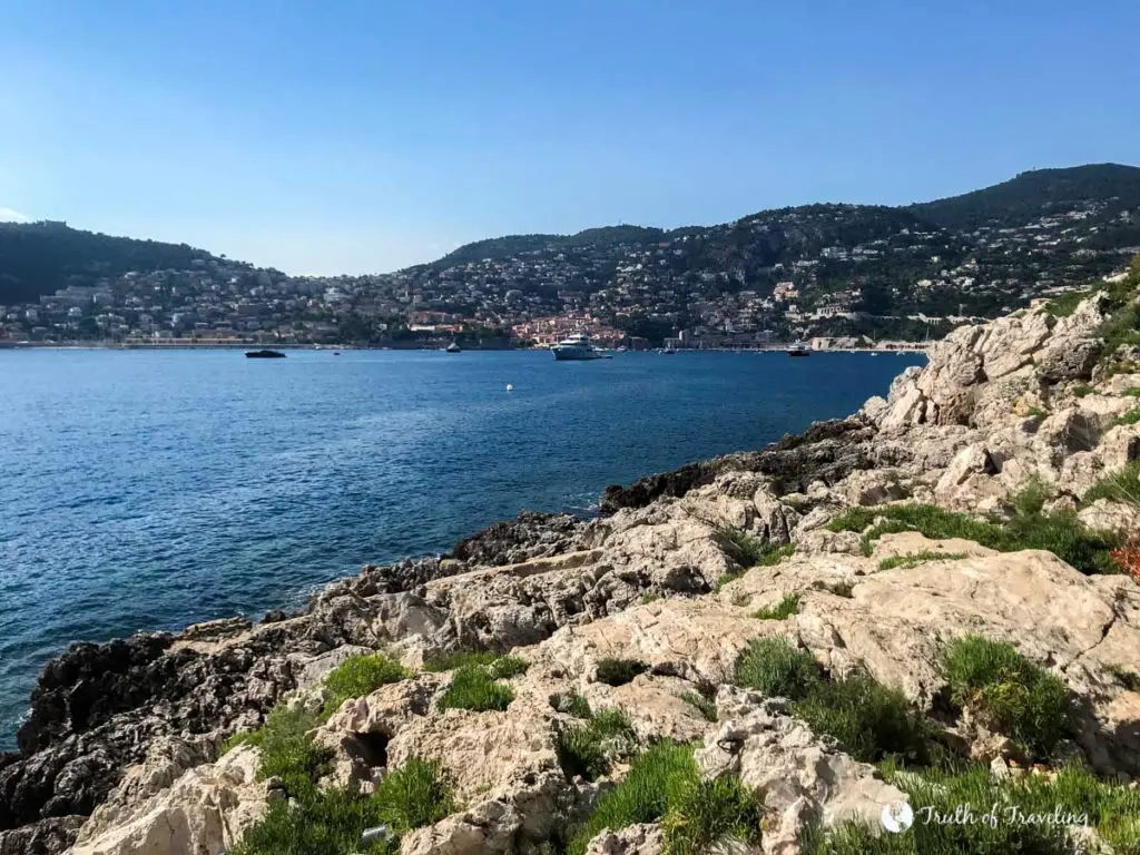
From the beginning of the Saint-Jean-Cap-Ferrat Coastal Path you see Villefranche Village and the Port of Villefranche-sur-Mer which makes for an amazing picture! As you keep walking towards the most southern tip of the peninsula (and turn the corner making Villefranche out of view) you’ll see nothing but open ocean in front of you.
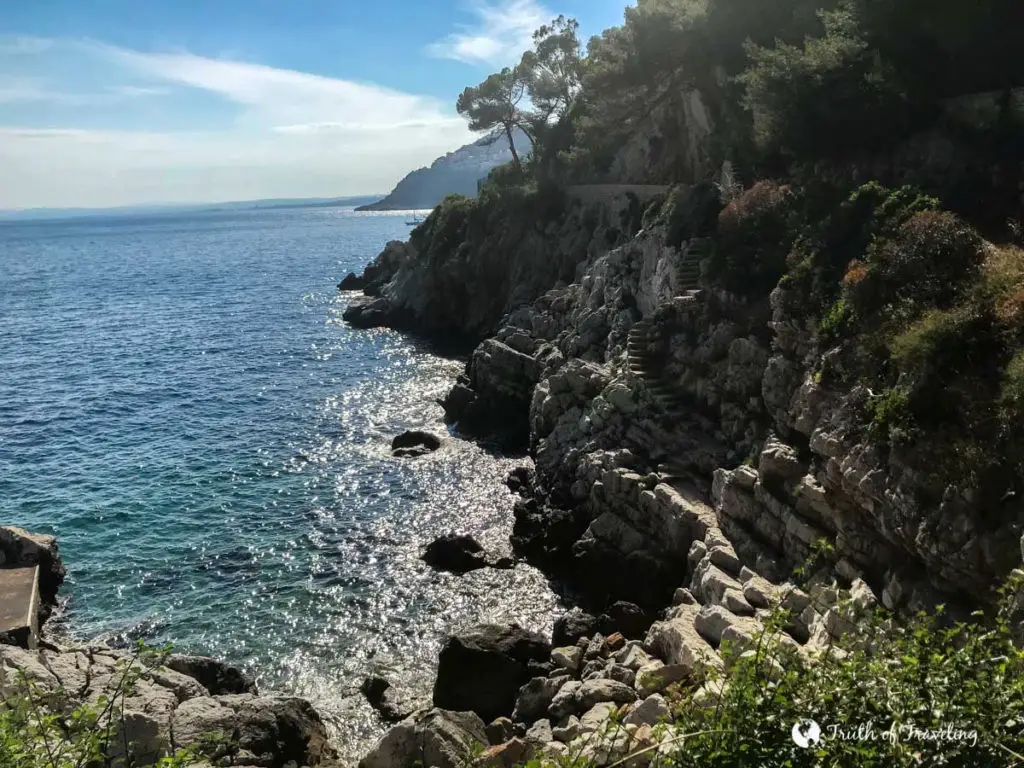
Although slightly different both the Mala Beach Coastal Path and the Saint-Jean-Cap-Ferrat Coastal Path were the best parts of our trip to the Cote de Azur! We would definitely recommend doing not one but both!
